Currently a cartographer at Encyclopædia Britannica and freelance cartographer/GIS professional. I have experience and primary interests in web mapping, data analysis, cartography, and conservation. I focus on projects that contribute to social and environmental good.
I've made lots of maps and handled data for leading conservation orgs such as the National Audubon Society and American Forests.
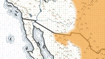
Bison Range Timeline
QGIS, R Studio, Leaflet, Affinity Designer 2
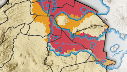
CDMX Sísmos
QGIS, R Studio, Affinity Designer 2
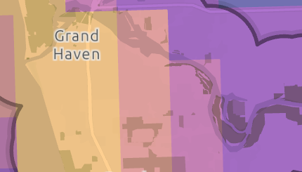
AGL Project Sites
ArcGIS Pro
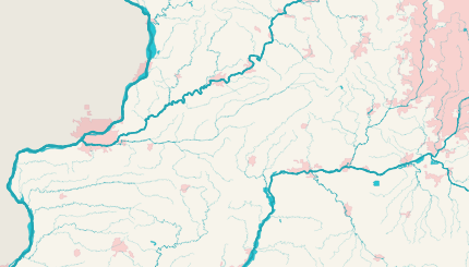
Illinois Waterways
QGIS
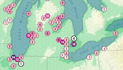
Spring Peak Bird Migration
ArcGIS Pro
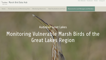
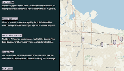
Marsh Bird Data Hub
ArcGIS Hub, ArcGIS Pro, ArcGIS Experience Builder, ArcGIS Dashboards, Survey123
Race & Toxic Air Pollution in NW Indiana
ArcGIS Pro, Adobe Illustrator
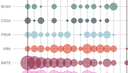
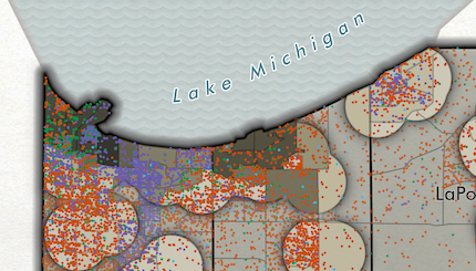
Calumet Indiana Marsh Bird Observations
R Studio
Colonial Nesting Waterbirds in NW Indiana
ArcGIS StoryMaps, ArcGIS Online
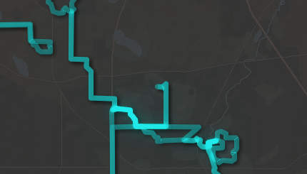
Bike Rides
ArcGIS Experience Builder, ArcGIS Online, ArcGIS Field Maps
Project Mapper
ArcGIS Experience Builder, ArcGIS Online, Survey123
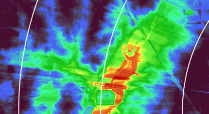
Motus Range & Viewshed Analysis
ArcGIS Pro